Summer heat and humidity are surging back in a big way this week.
The weather set-up Monday through Wednesday is one we've seen several times this summer: A strong Bermuda high offshore, pumping heat and humidity north into Maine.

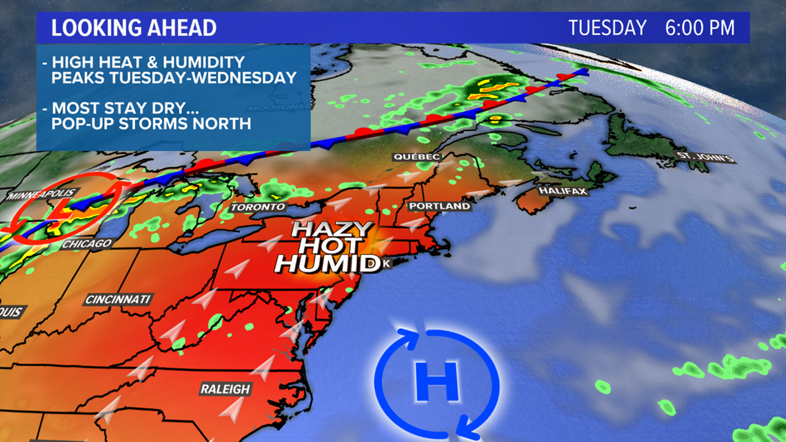
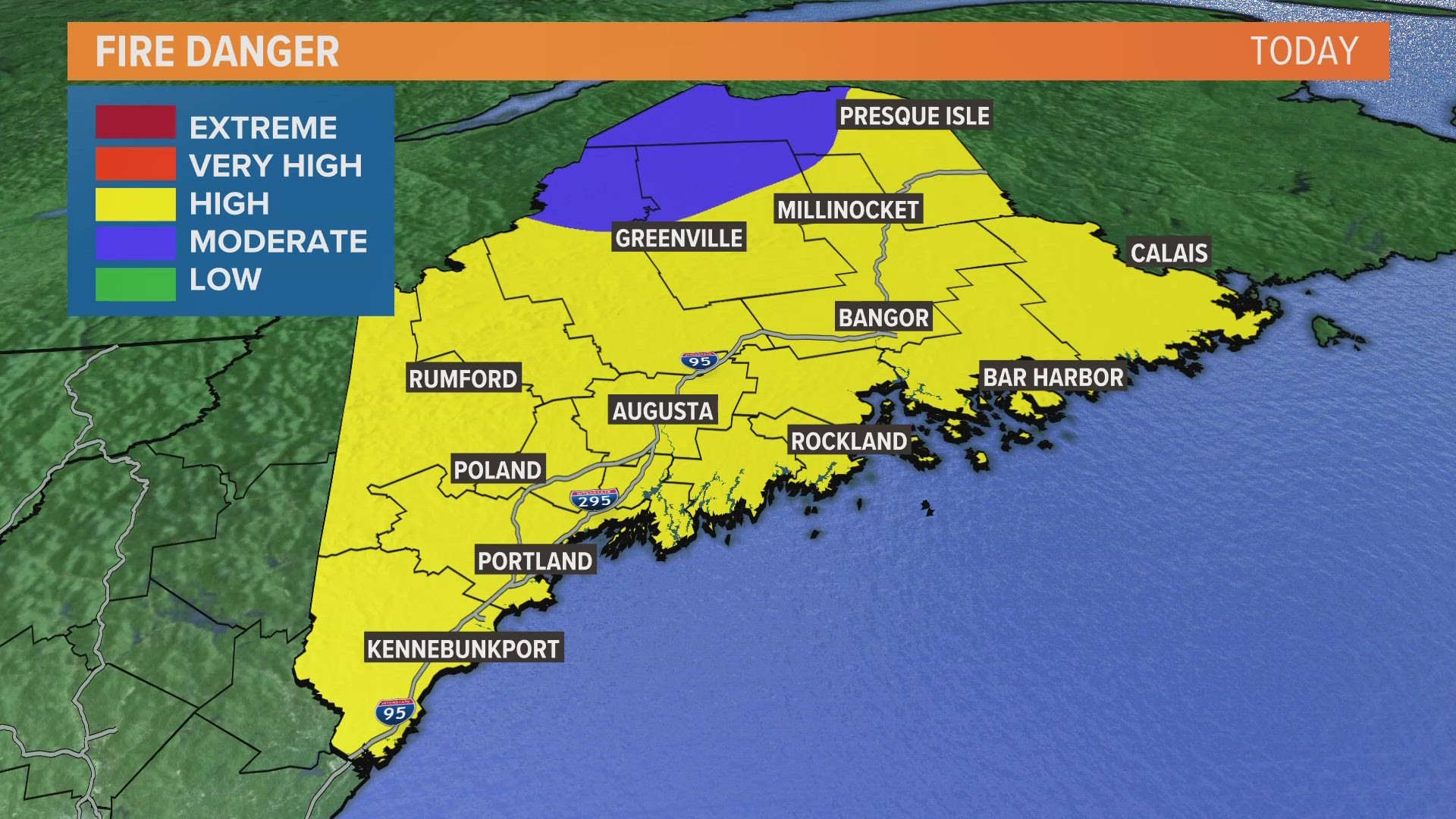
This high will be strong enough to keep most of the state rain-free, with just pop-up storms Tuesday and Wednesday, mainly in northern Maine. We'll have to wait on a strong cold front Wednesday night into Thursday for more widespread showers.
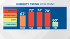
Humidity will tick up a bit Monday. By Tuesday, it will feel oppressive, and the high humidity lasts until the cold front passes through Thursday.
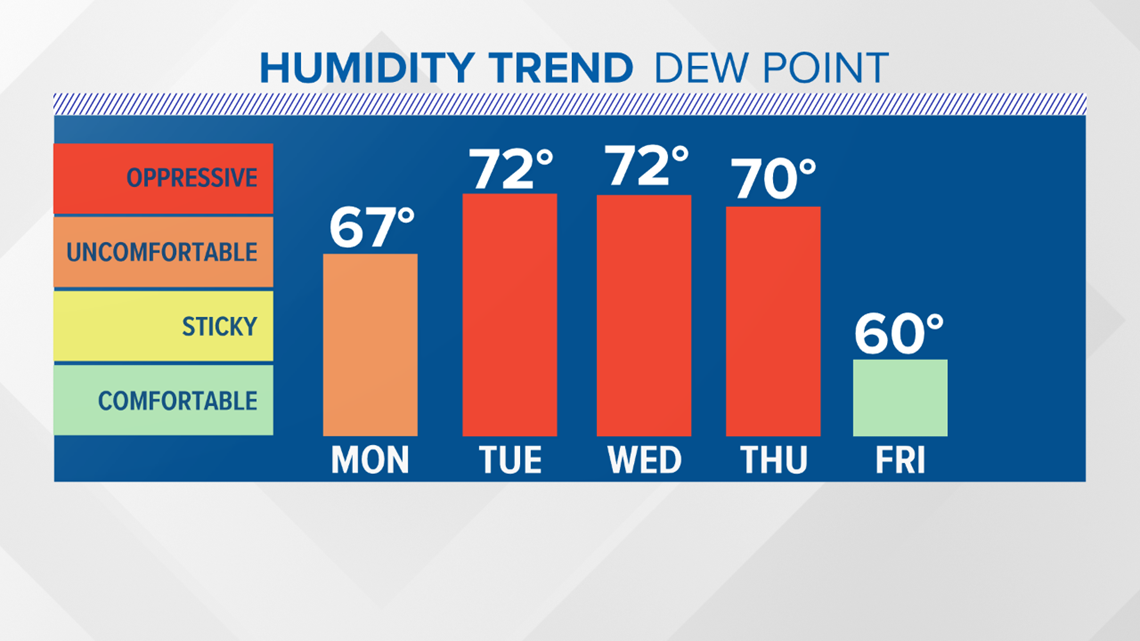
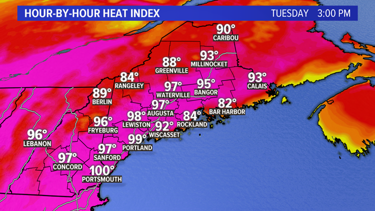
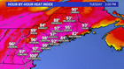
Combining temperatures in the low 90s with high humidity, it will feel like 95 to 100 degrees Tuesday afternoon.

With some schools heading back to class this week, and high school sports underway, this heat will pose new challenges.
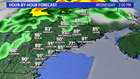
By Wednesday, the cold front starts to approach, but showers and storms will stay in northern Maine during the day. We should hit the 90 degree mark in most spots again; not as hot on the Midcoast and Downeast, where a southwesterly wind will come off the water.

Stay with us for updates on the temperatures over the next couple of days.